ENSTA Bretagne offers engineering training in Hydrography and Oceanography that prepares students to perform and assess hydrographic surveys, guarantee and certify the accuracy of hydrographic data, carry out methodological studies and rapidly adapt to changing measurement technology, or even contribute to its development.
Career prospects
Participation in coastal and port development projects, offshore platform positioning, creation and updating of marine maps, oceanographic research, etc.
Course content:
• Hydrography
• Geodesy
• Oceanography
• Bathymetry
• Data processing
• Positioning
• Interferometry, etc..
Program strengths
© Simon Rohou / ENSTA Bretagne
An internationally acclaimed program
ENSTA Bretagne offers the most comprehensive European program in the field, with Category A accreditation from the International Hydrographic Organization.
There are 5 specialization profiles and also possible double degrees
To customize your training, choose one of three specialization tracks:
- Geomatics,
- Marine Geophysics,
- Coastal Physical Oceanography,
- High-Sea Physical Oceanography,
- Ocean Data Sciences
In the last year, students can follow a complementary Research Master of Science in Physics.
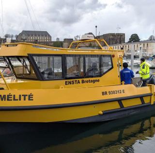
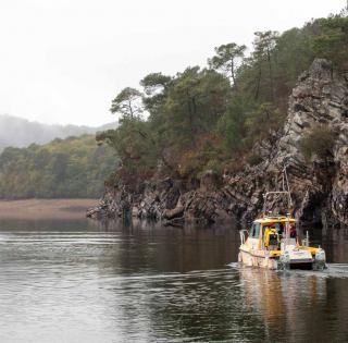
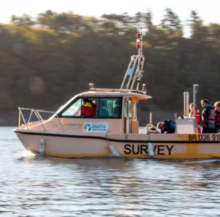
Cutting-edge facilities for real-world training
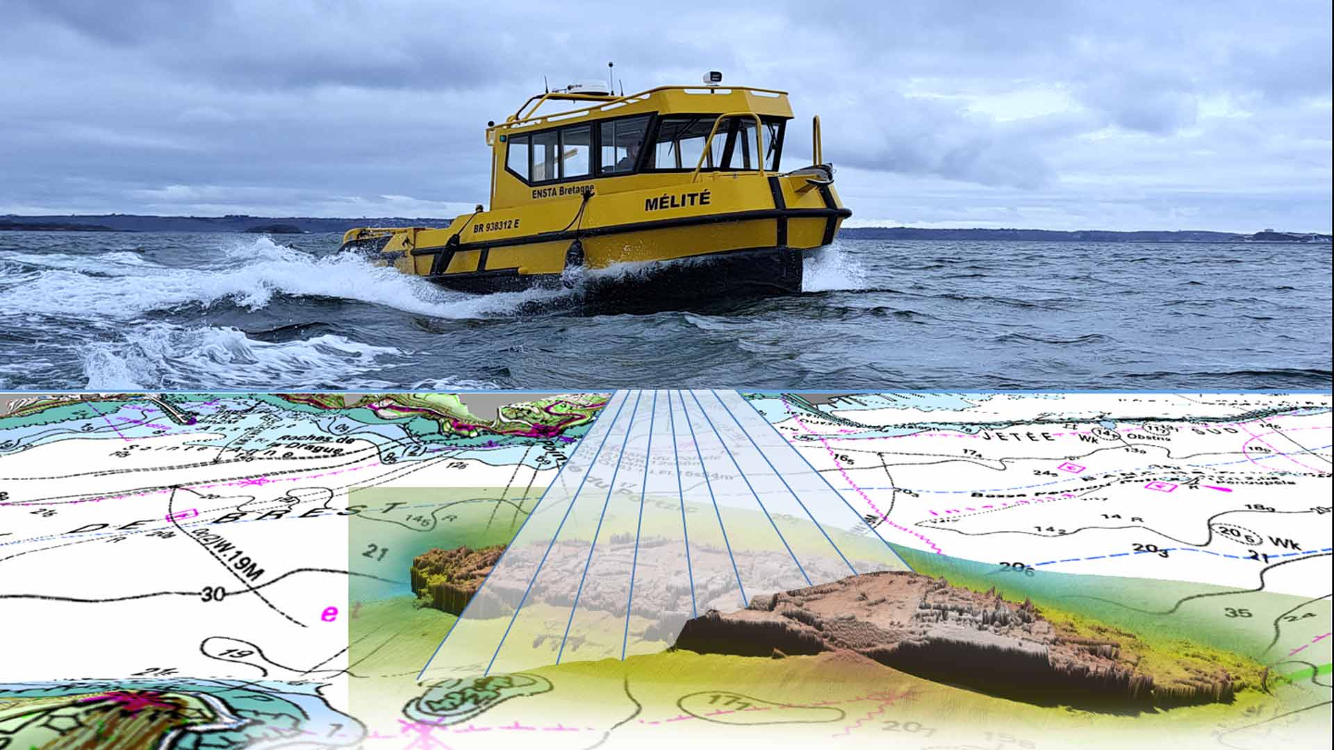
The school has a hydrographic survey vessel, an amphibious vehicle and various types of sensors to enable students to carry out surveys under optimal conditions.
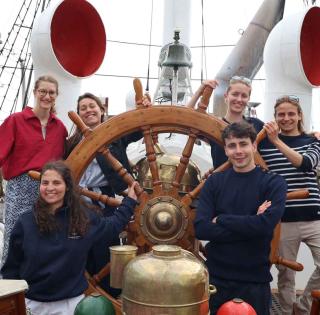
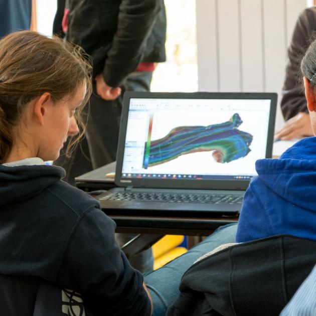
A multidisciplinary field project
In their last year, students partner with the school's robotics majors to spend a week carrying out hydrographic surveys at the Lac de Guerlédan.
Numerous partnerships with the private sector
ENSTA Bretagne partners with companies working in the field, who propose subjects for study, lend equipment and provide internships and job opportunities for graduates.
The specialization tracks
Geomatics
- Developing and designing tools for processing bathymetric data from multibeam sounders, geographical data management and morphological analysis (also known as “geomorphometry”) of seabeds.
Marine Geophysics
- Train engineers specializing in the coastal and high-sea marine field, capable of studying the dynamics of the solid Earth
Coastal Physical Oceanography
- Train oceanographers specializing in the dynamics of continental shelves/slopes and coastal areas (coastal and sediment dynamics, waves and digital modeling)
High-Sea Physical Oceanography
- Train oceanographers specializing in deep ocean dynamics (climate, general, regional and turbulent circulation, atmospheric dynamics and digital modeling)
Ocean Data Sciences
- Train engineers in disciplines of major societal importance: ocean change and climate change, and high technological and industrial impact (AI, scientific computing, data science and database management)
Double degree: These profiles (excluding Geomatics) can be combined with the Master of Science in Physics jointly awarded by IUEM (UBO) and ENSTA Bretagne.
Two years of specialized study
General engineering students at ENSTA Bretagne begin the 2-year Hydrography and Oceanography major in their second year of study.
The multidisciplinary field project
Every year, ENSTA Bretagne takes students on two one-week field trips to the Lac de Guerlédan, where they can apply the skills acquired in the classroom.
Hydrography and robotics students work together on multidisciplinary projects over the course of each week.
Examples of end-of-study projects by students majoring in Hydrogrpahy and Oceanography
- Thermal variations in the upper layer of the Southern Ocean
- Vulnerability and adaptation to climate change on the Cadix coast
- Study of comparison of multi-frequency radar and optical remote detection images for detection, characterization and quantification of (natural and anthropic) oil spills
- Carrying out micro-bathometry by AUV and data analysis.
| Target Careers | Examples of positions held by graduates |
|---|---|
|
|
contact
Admissions Coordinator (French students)
Adelaïde Gaudron
+33 (0)2 98 34 87 01


news